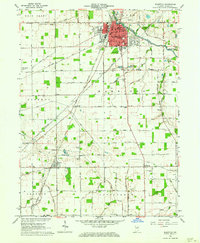
1962 Map of Bluffton
USGS Topo · Published 1964About this map
The Wabash River carves through the landscape of Wells County, anchoring the city of Bluffton as a regional center of industry and administration in the early 1960s. The urban grid is dense with civic infrastructure, including City Hall, the local Hospital, and several educational landmarks such as Market Street School and Columbian School. Outside the city center, the New York Chicago and St Louis Railroad cuts a diagonal path through the countryside, connecting smaller rural hubs like Wellsburg and Poneto.
Find a feature on this map
76 named features on this map. Tap any name to fly to it.
Don’t see what you’re looking for? This feature index may not catch every label — zoom into the map to look around manually.
Map Details
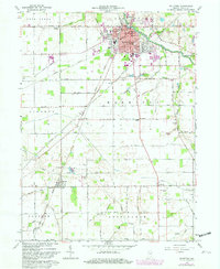
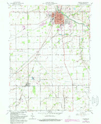
Editions of this 1962 Bluffton Map
3 editions found
Other maps of this area

1953 · Muncie
USGS Topo · 1:250,000

1955 · Markle
USGS Topo · 1:24,000

1956 · Muncie
USGS Topo · 1:250,000

1962 · Uniondale
USGS Topo · 1:24,000

1962 · Montpelier
USGS Topo · 1:24,000

1962 · Liberty Center
USGS Topo · 1:24,000

1962 · Preble
USGS Topo · 1:24,000

1962 · Petroleum
USGS Topo · 1:24,000

1962 · Linn Grove
USGS Topo · 1:24,000
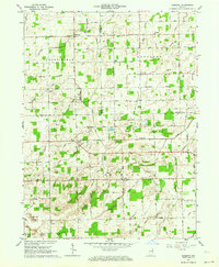
1962 · Domestic
USGS Topo · 1:24,000