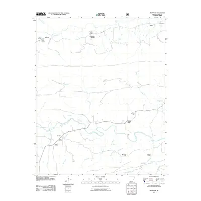
2011 Map of Bluffton
USGS Topo · Published 2011About this map
Fourche LaFave River winds through this section of Yell County, anchoring a landscape defined by small river settlements and timber access. The village of Bluffton serves as a local hub, featuring the Bluffton Post Office and Bluffton Cemetery. Further upstream, the importance of historical river crossings is evident at Gault Ford and Briggs Ford, while the surrounding terrain rises toward Pea Ridge and Wildcat Hollow.
Find a feature on this map
55 named features on this map. Tap any name to fly to it.
Don’t see what you’re looking for? This feature index may not catch every label — zoom into the map to look around manually.
Map Details
Editions of this 2011 Bluffton Map
This is the sole edition of this map. No revisions or reprints were ever made.
Other maps of this area

1879 · Mountain Home
USGS Topo · 1:62,500

1887 · Magazine Mountain #4
USGS Topo · 1:62,500

1887 · Magazine Mountain
USGS Topo · 1:62,500

1888 · Dardanelle #3
USGS Topo · 1:62,500

1890 · Magazine Mountain
USGS Topo · 1:125,000

1890 · Mount Ida
USGS Topo · 1:125,000

1890 · Hot Springs
USGS Topo · 1:125,000

1890 · Dardanelle
USGS Topo · 1:125,000

1894 · Hot Springs
USGS Topo · 1:125,000

1955 · Little Rock
USGS Topo · 1:250,000