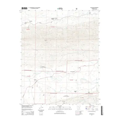
2014 Map of Bluffton
USGS Topo · Published 2014About this map
Bluffton and the surrounding valley of the Fourche LaFave River are the focal points of this Yell County landscape. The settlement patterns reflect the transition from the river lowlands to the heavily forested slopes of the Ouachita National Forest. Local history is anchored by a series of cemeteries, including Mt Pleasant Cem, Waltreak Cem, and the Chalybeate Springs Cem, each marking the generational roots of the valley's residents.
Find a feature on this map
57 named features on this map. Tap any name to fly to it.
Don’t see what you’re looking for? This feature index may not catch every label — zoom into the map to look around manually.
Map Details
Editions of this 2014 Bluffton Map
This is the sole edition of this map. No revisions or reprints were ever made.
Other maps of this area
1879 · Mountain Home
USGS Topo · 1:62,500
1887 · Magazine Mountain #4
USGS Topo · 1:62,500

1887 · Magazine Mountain
USGS Topo · 1:62,500
1888 · Dardanelle #3
USGS Topo · 1:62,500

1890 · Magazine Mountain
USGS Topo · 1:125,000
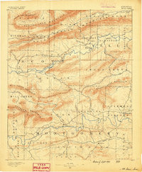
1890 · Mount Ida
USGS Topo · 1:125,000
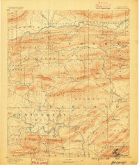
1890 · Hot Springs
USGS Topo · 1:125,000

1890 · Dardanelle
USGS Topo · 1:125,000
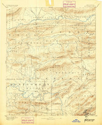
1894 · Hot Springs
USGS Topo · 1:125,000

1955 · Little Rock
USGS Topo · 1:250,000