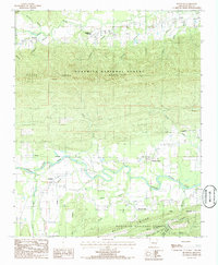
1985 Map of Bluffton
USGS Topo · Published 1986About this map
The Fourche La Fave River winds through the southern half of this landscape, anchoring the small settlements of Bluffton and Fourche Valley. This 1980s-era survey reveals a terrain defined by the high, east-west spine of Dutch Creek Mountain and the parallel elevation of Bogus Ridge. The river corridor, which includes a Gaging Station and several tributary branches like Gault Branch and Poda Br, represents the primary area of habitation and agriculture within the Ouachita National Forest.
Find a feature on this map
37 named features on this map. Tap any name to fly to it.
Don’t see what you’re looking for? This feature index may not catch every label — zoom into the map to look around manually.
Map Details
Editions of this 1985 Bluffton Map
This is the sole edition of this map. No revisions or reprints were ever made.
Other maps of this area

1879 · Mountain Home
USGS Topo · 1:62,500

1887 · Magazine Mountain #4
USGS Topo · 1:62,500

1887 · Magazine Mountain
USGS Topo · 1:62,500

1888 · Dardanelle #3
USGS Topo · 1:62,500

1890 · Magazine Mountain
USGS Topo · 1:125,000

1890 · Mount Ida
USGS Topo · 1:125,000

1890 · Hot Springs
USGS Topo · 1:125,000

1890 · Dardanelle
USGS Topo · 1:125,000

1894 · Hot Springs
USGS Topo · 1:125,000

1955 · Little Rock
USGS Topo · 1:250,000