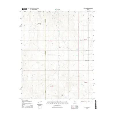
2014 Map of Blye Canyon NE
USGS Topo · Published 2014About this map
Truxton Wash carves through the arid landscape of Yavapai County, defining the drainage patterns across this high-desert terrain. The 2014 survey reveals a landscape dedicated to ranching and resource management, anchored by the X-1 Ranch Upper Headquarters Airport in the south. The area is characterized by significant topographic shifts, most notably at the Yampai Divide and within the winding corridors of Nelson Canyon and Faught Canyon.
Find a feature on this map
36 named features on this map. Tap any name to fly to it.
Don’t see what you’re looking for? This feature index may not catch every label — zoom into the map to look around manually.
Map Details
Editions of this 2014 Blye Canyon NE Map
This is the sole edition of this map. No revisions or reprints were ever made.
Other maps of this area

1886 · Diamond Creek
USGS Topo · 1:250,000

1892 · Diamond Creek
USGS Topo · 1:250,000

1948 · Williams
USGS Topo · 1:250,000

1954 · Williams
USGS Topo · 1:250,000

1956 · Williams
USGS Topo · 1:250,000

1960 · Williams
USGS Topo · 1:250,000

1961 · Williams
USGS Topo · 1:250,000

1967 · Peach Springs
USGS Topo · 1:24,000
1967 · Nelson
USGS Topo · 1:24,000
1980 · Cherokee Point
USGS Topo · 1:24,000