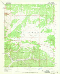
1967 Map of Nelson
USGS Topo · Published 1970About this map
Nelson occupies a strategic point where the Atchison Topeka and Santa Fe railroad threads through the high desert of the Arizona plateau. This 1960s survey captures the intersection of three counties—Mohave, Coconino, and Yavapai—and the southern boundary of the Hualapai Indian Reservation. The landscape is dominated by the dramatic descent into Yampai Canyon and Nelson Canyon, where the rail line follows the natural topography to maintain its grade. Water management in this arid environment is evident through a network of catchments including Limestone Tank, Bull Pasture Tank, and the remote Shipley Well. Landmarks such as the Dinosaur City Airport and a local Cem near the settlement provide specific points of interest for genealogists and local historians studying the mid-century infrastructure of Northern Arizona.
Find a feature on this map
19 named features on this map. Tap any name to fly to it.
Don’t see what you’re looking for? This feature index may not catch every label — zoom into the map to look around manually.
Map Details
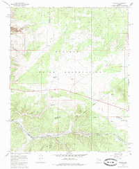
Editions of this 1967 Nelson Map
2 editions found
Other maps of this area

1886 · Diamond Creek
USGS Topo · 1:250,000

1892 · Diamond Creek
USGS Topo · 1:250,000

1948 · Williams
USGS Topo · 1:250,000

1954 · Williams
USGS Topo · 1:250,000

1956 · Williams
USGS Topo · 1:250,000

1960 · Williams
USGS Topo · 1:250,000

1961 · Williams
USGS Topo · 1:250,000

1967 · Peach Springs
USGS Topo · 1:24,000
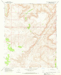
1967 · Peach Springs Canyon
USGS Topo · 1:24,000
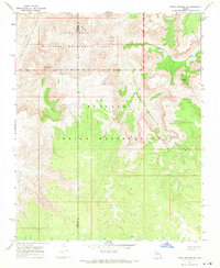
1967 · Peach Springs NE
USGS Topo · 1:24,000