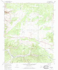
1967 Map of Nelson
USGS Topo · Published 1985About this map
The settlement of Nelson serves as a focal point in this high-desert landscape during the late 1960s, situated along the critical transit corridor of the Atchison Topeka and Santa Fe railroad. This map reveals the intersection of infrastructure and indigenous lands, with a significant portion of the northern terrain falling within the Hualapai Indian Reservation. The industrial and logistics-based nature of the area is evident in the presence of a Mine and several Borrow Pits clustered near the rail line and the canyon floor.
Find a feature on this map
18 named features on this map. Tap any name to fly to it.
Don’t see what you’re looking for? This feature index may not catch every label — zoom into the map to look around manually.
Map Details
Editions of this 1967 Nelson Map
2 editions found
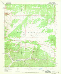
Other maps of this area

1886 · Diamond Creek
USGS Topo · 1:250,000

1892 · Diamond Creek
USGS Topo · 1:250,000

1948 · Williams
USGS Topo · 1:250,000

1954 · Williams
USGS Topo · 1:250,000

1956 · Williams
USGS Topo · 1:250,000

1960 · Williams
USGS Topo · 1:250,000

1961 · Williams
USGS Topo · 1:250,000

1967 · Peach Springs
USGS Topo · 1:24,000
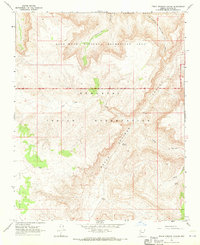
1967 · Peach Springs Canyon
USGS Topo · 1:24,000
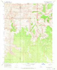
1967 · Peach Springs NE
USGS Topo · 1:24,000