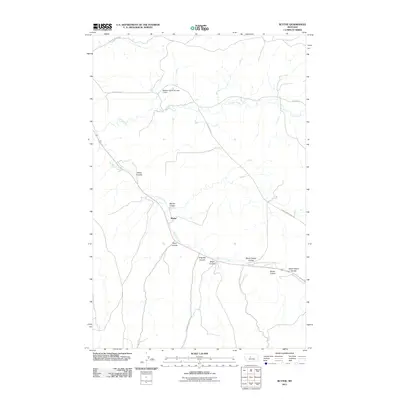
2011 Map of Blythe
USGS Topo · Published 2011About this map
Big Otter Creek cuts through this portion of Cascade County, shaping a landscape defined by its deep drainages and ranching history. The settlement of Blythe sits along the creek’s path, serving as a focal point in a region where water management is critical to the local economy. Evidence of this necessity is found to the north at the Dawson Ranch Number 1 Dam, which manages the flow of Cora Creek. The terrain is deeply etched by numerous coulees that feed into the primary waterways, including Baker Coulee, Marion Coulee, and the uniquely named Never Sweat Coulee. These geographic features often dictated the placement of early roads like Cora Creek Rd and Willow Creek Rd, which follow the contours of the high plains to connect remote ranching outposts.
Find a feature on this map
16 named features on this map. Tap any name to fly to it.
Don’t see what you’re looking for? This feature index may not catch every label — zoom into the map to look around manually.
Map Details
Editions of this 2011 Blythe Map
This is the sole edition of this map. No revisions or reprints were ever made.
Other maps of this area

1890 · Fort Benton
USGS Topo · 1:250,000

1892 · Fort Benton
USGS Topo · 1:250,000

1897 · Fort Benton
USGS Topo · 1:250,000

1954 · Great Falls
USGS Topo · 1:250,000

1956 · Belt
USGS Topo · 1:62,500

1957 · Great Falls
USGS Topo · 1:250,000
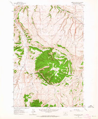
1961 · Limestone Butte
USGS Topo · 1:24,000

1961 · Barker
USGS Topo · 1:62,500
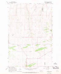
1967 · Monarch NE
USGS Topo · 1:24,000
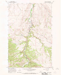
1967 · Riceville
USGS Topo · 1:24,000