
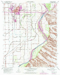
1951 Map of Blythe
USGS Topo · Published 1952About this map
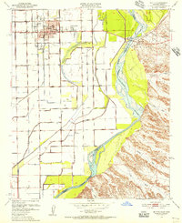
Colorado River hydrology and desert irrigation define this mid-century survey of the Palo Verde Valley borderlands. The city of Blythe serves as the central hub, showing a grid established with civic essentials like City Hall, the Jr High School, and Palo Verde Hospital. The landscape is a complex network of levees, canals, and siphons designed to manage the river's flow, contrasting the engineered valley floor against the stark, wash-cut terrain to the east.
Find a feature on this map
27 named features on this map. Tap any name to fly to it.
Don’t see what you’re looking for? This feature index may not catch every label — zoom into the map to look around manually.
Map Details
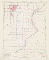
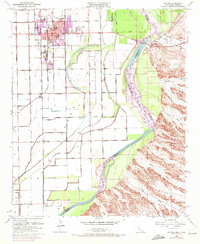
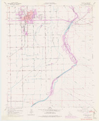
Editions of this 1951 Blythe Map
6 editions found
Other maps of this area

1933 · Cunningham Mtn
USGS Topo · 1:48,000

1934 · Trigo Peaks
USGS Topo · 1:48,000

1939 · Trigo Peaks
USGS Topo · 1:62,500

1940 · Dome Rock Mts
USGS Topo · 1:62,500

1942 · Blythe
USGS Topo · 1:250,000

1945 · Cibola
USGS Topo · 1:62,500

1951 · McCoy Wash
USGS Topo · 1:24,000

1951 · Blythe NE
USGS Topo · 1:24,000

1951 · Cibola
USGS Topo · 1:62,500

1952 · Mule Wash
USGS Topo · 1:24,000