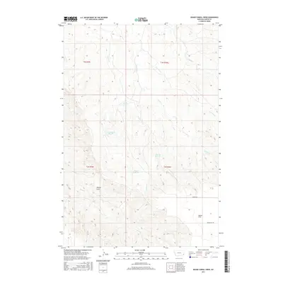
2017 Map of Board Corral Creek
USGS Topo · Published 2017About this map
Board Corral Cr and the intermittent drainages of Carter County define this high plains landscape. The drainage network is punctuated by several small-scale water management features including Evans Reservoir, Little Britches Reservoir, and Schmidt Reservoir, reflecting the essential nature of water storage in this arid region of Montana. These landmarks, alongside Dugout Reservoir, serve as vital anchors for understanding the land use and ranching history in the eastern part of the state.
Find a feature on this map
18 named features on this map. Tap any name to fly to it.
Don’t see what you’re looking for? This feature index may not catch every label — zoom into the map to look around manually.
Map Details
Editions of this 2017 Board Corral Creek Map
This is the sole edition of this map. No revisions or reprints were ever made.
Other maps of this area

1953 · Miles City
USGS Topo · 1:250,000

1954 · Ekalaka
USGS Topo · 1:250,000

1956 · Ekalaka
USGS Topo · 1:250,000

1957 · Miles City
USGS Topo · 1:250,000

1958 · Miles City
USGS Topo · 1:250,000

1958 · Ekalaka
USGS Topo · 1:250,000

1965 · Ekalaka
USGS Topo · 1:250,000

1979 · Blacktail Creek NW
USGS Topo · 1:24,000

1979 · Blacktail Creek SE
USGS Topo · 1:24,000

1979 · Board Corral Creek
USGS Topo · 1:24,000