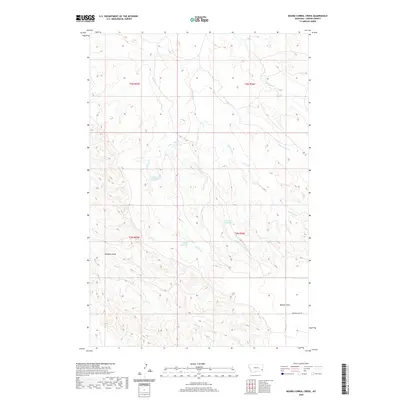
2020 Map of Board Corral Creek
USGS Topo · Published 2020About this map
Board Corral Cr and O'Fallon Cr drainage systems define this section of Carter County, where small-scale water management supports the livestock and ranching traditions of southeastern Montana. The map illustrates a landscape of intermittent streams and coulees, punctuated by essential water sources like Evans Reservoir, Little Britches Reservoir, and Schmidt Reservoir. These named catchments are vital infrastructure in a region characterized by wide open spaces and varying topography, from the level expanse of Beaver Flats to the narrow confines of Whiskey Gulch. High-resolution 2020 data shows the modern road network, primarily consisting of local routes like Beaver Flats Rd, which provides access through the townships of t3n r55e and t2n r56e. The network of creeks, including Line Camp Cr and H Seven Cr, reflects the natural hydrology that has dictated land use in this part of the state for generations.
Find a feature on this map
17 named features on this map. Tap any name to fly to it.
Don’t see what you’re looking for? This feature index may not catch every label — zoom into the map to look around manually.
Map Details
Editions of this 2020 Board Corral Creek Map
This is the sole edition of this map. No revisions or reprints were ever made.
Other maps of this area

1953 · Miles City
USGS Topo · 1:250,000

1954 · Ekalaka
USGS Topo · 1:250,000

1956 · Ekalaka
USGS Topo · 1:250,000

1957 · Miles City
USGS Topo · 1:250,000

1958 · Miles City
USGS Topo · 1:250,000

1958 · Ekalaka
USGS Topo · 1:250,000

1965 · Ekalaka
USGS Topo · 1:250,000

1979 · Blacktail Creek NW
USGS Topo · 1:24,000

1979 · Blacktail Creek SE
USGS Topo · 1:24,000

1979 · Board Corral Creek
USGS Topo · 1:24,000