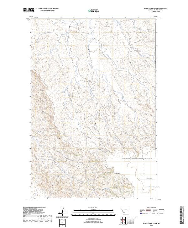
2024 Map of Board Corral Creek
USGS Topo · Published 2024About this map
Board Corral Creek and its many seasonal tributaries carve a complex drainage system across this southeastern Montana landscape. Located in Carter County, the area is defined by the high, level plateau of the Beaver Flats to the southeast and a series of deeply etched drainages like Whiskey Gulch and Alkali Creek further south. The land is largely uninhabited, organized by the Public Land Survey System grids of t3n r55e and t2n r56e, which reveal the expansive scale of ranching and grazing territories in this corner of the state.
Find a feature on this map
13 named features on this map. Tap any name to fly to it.
Don’t see what you’re looking for? This feature index may not catch every label — zoom into the map to look around manually.
Map Details
Editions of this 2024 Board Corral Creek Map
This is the sole edition of this map. No revisions or reprints were ever made.
Other maps of this area

1953 · Miles City
USGS Topo · 1:250,000

1954 · Ekalaka
USGS Topo · 1:250,000

1956 · Ekalaka
USGS Topo · 1:250,000

1957 · Miles City
USGS Topo · 1:250,000

1958 · Miles City
USGS Topo · 1:250,000

1958 · Ekalaka
USGS Topo · 1:250,000

1965 · Ekalaka
USGS Topo · 1:250,000

1979 · Blacktail Creek NW
USGS Topo · 1:24,000

1979 · Blacktail Creek SE
USGS Topo · 1:24,000

1979 · Board Corral Creek
USGS Topo · 1:24,000