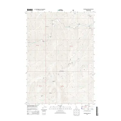
2013 Map of Boardman Creek
USGS Topo · Published 2013About this map
The Sawtooth National Forest dominates this section of Camas County, where the South Fork Boise River winds through high-elevation terrain. This 2013 survey illustrates the recreational and administrative landscape of the Soldier Mountains, featuring remote outposts like the Little Smoky Patrol Cabin and multiple camping sites including River Bend Campground and Big Smoky Campground. The geography is defined by significant drainage systems such as Big Smoky Creek and Boardman Cr, which carve through deep features like Smoky Dome Canyon. Geothermal and alpine water features are prominent, from the Lightfoot Hot Springs near Lightfoot Bar to the high Smoky Dome Lakes. This map records a landscape managed for wilderness and recreation, preserving the locations of trail access points and mountain passes like Boardman Pass used by modern outdoorsmen and backcountry researchers.
Find a feature on this map
68 named features on this map. Tap any name to fly to it.
Don’t see what you’re looking for? This feature index may not catch every label — zoom into the map to look around manually.
Map Details
Editions of this 2013 Boardman Creek Map
This is the sole edition of this map. No revisions or reprints were ever made.
Other maps of this area

1892 · Camas Prairie
USGS Topo · 1:125,000

1893 · Camas Prairie
USGS Topo · 1:125,000

1894 · Rocky Bar
USGS Topo · 1:125,000

1900 · Sawtooth
USGS Topo · 1:125,000

1955 · Hailey
USGS Topo · 1:250,000

1957 · Fairfield
USGS Topo · 1:62,500

1959 · Hailey
USGS Topo · 1:250,000

1962 · Hailey
USGS Topo · 1:250,000

1963 · Deer Mountain
USGS Topo · 1:24,000

1964 · Ross Peak
USGS Topo · 1:24,000