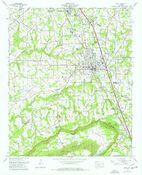
1976 Map of Boaz
USGS Topo · Published 1977About this map
Boaz and southern Albertville anchor this mid-1970s topographic study, illustrating the intensive settlement along the Louisville and Nashville railroad corridor. The map documents the institutional core of the region, specifically Snead College and the Boaz-Albertville Hospital, while the surrounding plateau of Sand Mountain is dotted with numerous small churches like Bethsaida Ch and Springdale Ch.
Find a feature on this map
63 named features on this map. Tap any name to fly to it.
Don’t see what you’re looking for? This feature index may not catch every label — zoom into the map to look around manually.
Map Details
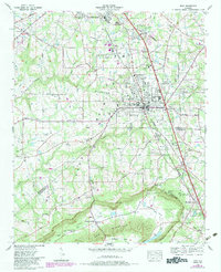
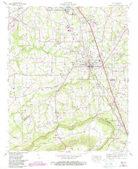
Editions of this 1976 Boaz Map
3 editions found
Other maps of this area

1885 · Gadsden
USGS Topo · 1:125,000

1888 · Gadsden
USGS Topo · 1:125,000

1892 · Gadsden
USGS Topo · 1:125,000

1895 · Gadsden
USGS Topo · 1:125,000

1903 · Gadsden
USGS Topo · 1:125,000
1936 · Painter
USGS Topo · 1:24,000
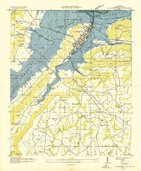
1936 · Guntersville
USGS Topo · 1:24,000
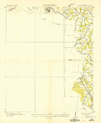
1936 · Mountainboro
USGS Topo · 1:24,000
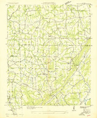
1936 · Rodentown
USGS Topo · 1:24,000
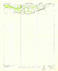
1936 · High Point
USGS Topo · 1:24,000