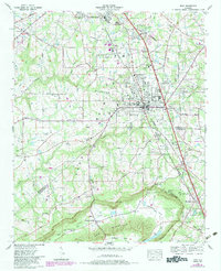
1976 Map of Boaz
USGS Topo · Published 1983About this map
Sand Mountain dominates the high plateau of this Alabama landscape, where the neighboring municipalities of Albertville and Boaz define the primary corridor of growth. Updated with revisions in the early 1980s, the map reveals a community transitioning from its agricultural roots to a modern regional hub, evidenced by the Albertville Municipal Airfield and the Boaz-Albertville Hospital. The transportation network is anchored by the Seaboard Coast Line and Louisville and Nashville railroads, which parallel the modern highway developments.
Find a feature on this map
67 named features on this map. Tap any name to fly to it.
Don’t see what you’re looking for? This feature index may not catch every label — zoom into the map to look around manually.
Map Details
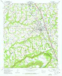
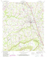
Editions of this 1976 Boaz Map
3 editions found
Other maps of this area

1885 · Gadsden
USGS Topo · 1:125,000

1888 · Gadsden
USGS Topo · 1:125,000

1892 · Gadsden
USGS Topo · 1:125,000

1895 · Gadsden
USGS Topo · 1:125,000

1903 · Gadsden
USGS Topo · 1:125,000

1936 · Painter
USGS Topo · 1:24,000

1936 · Guntersville
USGS Topo · 1:24,000

1936 · Mountainboro
USGS Topo · 1:24,000

1936 · Rodentown
USGS Topo · 1:24,000

1936 · High Point
USGS Topo · 1:24,000