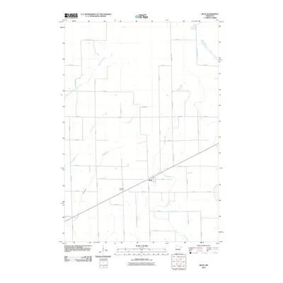
2010 Map of Bock
USGS Topo · Published 2010About this map
The small village of Bock serves as the central hub of this Mille Lacs County landscape, situated along a diagonal corridor that cuts through the rectilinear grid of township roads. The rural character of the area is defined by its extensive drainage network, where multiple waterways such as Bogus Brook, Vondell Brook, and O'Neill Brook meander through the low-lying terrain. To the northeast, the South Fork Groundhouse River flows through more open ground, while the Borgholm Cemetery south of the main settlement provides a key waypoint for genealogists and local historians tracking early families in the region. The map captures the interface of agricultural land and wooded corridors, specifically near Kanabec Forest RD, illustrating the persistent rural patterns of central Minnesota in the early 21st century.
Find a feature on this map
35 named features on this map. Tap any name to fly to it.
Don’t see what you’re looking for? This feature index may not catch every label — zoom into the map to look around manually.
Map Details
Editions of this 2010 Bock Map
This is the sole edition of this map. No revisions or reprints were ever made.
Other maps of this area

1953 · Stillwater
USGS Topo · 1:250,000

1955 · Stillwater
USGS Topo · 1:250,000

1958 · Stillwater
USGS Topo · 1:250,000

1961 · Dalbo
USGS Topo · 1:24,000

1961 · Dalbo
USGS Topo · 1:62,500

1965 · Stillwater
USGS Topo · 1:250,000

1968 · Milaca NE
USGS Topo · 1:24,000

1968 · Ann Lake
USGS Topo · 1:24,000

1968 · Milaca
USGS Topo · 1:24,000
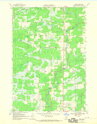
1968 · Page
USGS Topo · 1:24,000