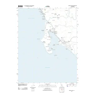
2012 Map of Bodega Head
USGS Topo · Published 2012About this map
Bodega Head and the sheltering Doran Spit define this coastal landscape where the Pacific Ocean meets the quiet waters of Bodega Harbor. This 2012 study details the maritime infrastructure of the region, from the Spud Point Marina and Porto Bodega Marina to the academic presence of the University of California Marine Laboratory. The geography of the shoreline is meticulously recorded, noting the transition from the sandy expanses of Bodega Dunes to the prominent rocky features of Arched Rock and Mussel Point.
Find a feature on this map
77 named features on this map. Tap any name to fly to it.
Don’t see what you’re looking for? This feature index may not catch every label — zoom into the map to look around manually.
Map Details
Editions of this 2012 Bodega Head Map
This is the sole edition of this map. No revisions or reprints were ever made.
Other maps of this area

1916 · Point Reyes
USGS Topo · 1:48,000

1918 · Point Reyes
USGS Topo · 1:62,500

1935 · Sebastopol
USGS Topo · 1:48,000

1942 · Sebastopol
USGS Topo · 1:62,500

1942 · Bodega Head
USGS Topo · 1:24,000

1942 · Arched Rock
USGS Topo · 1:24,000

1943 · Duncans Mills
USGS Topo · 1:24,000

1944 · Bodega Head
USGS Topo · 1:31,680
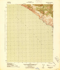
1944 · Arched Rock
USGS Topo · 1:31,680
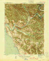
1945 · Duncans Mills
USGS Topo · 1:31,680