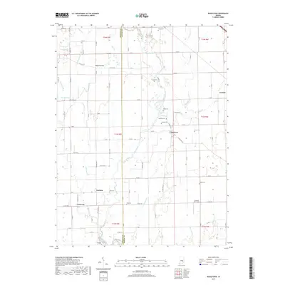
2019 Map of Boggstown
USGS Topo · Published 2019About this map
Sugar Creek winds through the heart of this landscape, marking the natural boundary between Johnson and Shelby counties. The area is defined by a dense network of drainage ditches and small runs, such as Cutsinger Ditch and Leatherwood Cr, which support the productive agricultural fields characteristic of central Indiana. Small rural clusters and unincorporated communities like Boggstown and Needham serve as local anchors, connected by a grid of county roads that follow the township and range lines.
Find a feature on this map
67 named features on this map. Tap any name to fly to it.
Don’t see what you’re looking for? This feature index may not catch every label — zoom into the map to look around manually.
Map Details
Editions of this 2019 Boggstown Map
This is the sole edition of this map. No revisions or reprints were ever made.
Other maps of this area

1942 · Franklin
USGS Topo · 1:125,000

1942 · Columbus
USGS Topo · 1:125,000

1947 · Franklin
USGS Topo · 1:62,500

1948 · Franklin
USGS Topo · 1:24,000

1948 · Beech Grove
USGS Topo · 1:24,000

1948 · Lewis Creek
USGS Topo · 1:24,000

1948 · Marietta
USGS Topo · 1:24,000

1950 · Franklin
USGS Topo · 1:62,500

1950 · Edinburg
USGS Topo · 1:62,500

1952 · Fountaintown
USGS Topo · 1:24,000