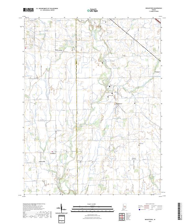
2022 Map of Boggstown
USGS Topo · Published 2022About this map
Sugar Creek winds through the heart of the Indiana countryside, defining the border between Johnson Co and Shelby Co as it flows past the small community of Boggstown. This landscape is marked by a legacy of family settlement and rural industry, where small clusters of homes like Needham and Urmeyville anchor the local road network. The region’s history is preserved in its many small burial grounds, including the Boggstown Cem, Webb Cem, and Johnson Cem, which sit alongside active agricultural tracts.
Find a feature on this map
95 named features on this map. Tap any name to fly to it.
Don’t see what you’re looking for? This feature index may not catch every label — zoom into the map to look around manually.
Map Details
Editions of this 2022 Boggstown Map
This is the sole edition of this map. No revisions or reprints were ever made.
Other maps of this area

1942 · Franklin
USGS Topo · 1:125,000

1942 · Columbus
USGS Topo · 1:125,000

1947 · Franklin
USGS Topo · 1:62,500

1948 · Franklin
USGS Topo · 1:24,000

1948 · Beech Grove
USGS Topo · 1:24,000

1948 · Lewis Creek
USGS Topo · 1:24,000

1948 · Marietta
USGS Topo · 1:24,000

1950 · Franklin
USGS Topo · 1:62,500

1950 · Edinburg
USGS Topo · 1:62,500

1952 · Fountaintown
USGS Topo · 1:24,000