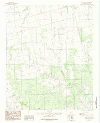
1983 Map of Boggy Creek
USGS Topo · Published 1984About this map
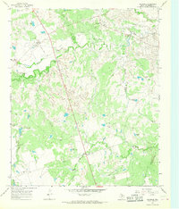
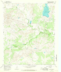
Boggy Creek meanders through this portion of North Texas, defining a landscape of intermittent drainage and essential water management for local agriculture and livestock. Mapped in the early 1980s by the Usgs, this provisional survey captures the terrain as it existed before significant modern changes, reflecting a rural expanse where water sources were carefully named landmarks. The convergence of Turkey Creek and several livestock ponds, such as Flax Tank and Stone Tank, points to the critical importance of ranching infrastructure in Wilbarger County. Small tributaries like Plum Creek provide further detail on the hydrology of the Red River valley region during this era.
Find a feature on this map
5 named features on this map. Tap any name to fly to it.
Don’t see what you’re looking for? This feature index may not catch every label — zoom into the map to look around manually.
Map Details
Editions of this 1983 Boggy Creek Map
This is the sole edition of this map. No revisions or reprints were ever made.
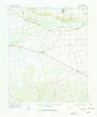
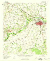
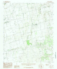
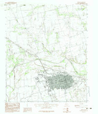
Other maps of this area

1954 · Wichita Falls
USGS Topo · 1:250,000

1955 · Lawton
USGS Topo · 1:250,000

1958 · Wichita Falls
USGS Topo · 1:250,000
1958 · Davidson
USGS Topo · 1:62,500
1958 · Vernon
USGS Topo · 1:62,500
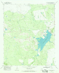
1966 · Santa Rosa Lake
USGS Topo · 1:24,000
1966 · Grayback
USGS Topo · 1:24,000
1966 · Lake Electra
USGS Topo · 1:24,000
1983 · Lockett
USGS Topo · 1:24,000
1983 · Vernon
USGS Topo · 1:24,000