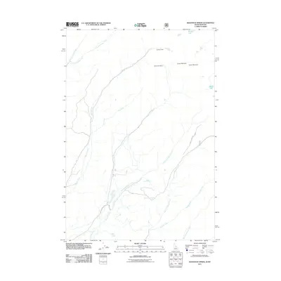
2011 Map of Bohannon Spring
USGS Topo · Published 2011About this map
Coal Mine Gulch Spring and Sawmill Gulch Spring mark the western slopes of the Beaverhead Mountains in this high-altitude landscape. The hydrology of the region is defined by a complex network of drainages including Geertson Creek, Bohannon Creek, and Wimpey Creek, which flow through deep canyons and gulches. Evidence of early resource management appears through structures like Geertson Dam and Bohannon Dam, while high-elevation water bodies such as Hamby Lake and Berry Lake are situated near the prominent Center Mountain. The road network is sparse, primarily consisting of rugged tracks like Bohannon Creek Rd and Windy Crk, reflecting the area's primary use for ranching, mining, and watershed protection. This survey captures a moment in the modern management of this remote borderland, where seasonal springs and narrow creek forks dictate the movement of both people and livestock across the Idaho-Montana line.
Find a feature on this map
20 named features on this map. Tap any name to fly to it.
Don’t see what you’re looking for? This feature index may not catch every label — zoom into the map to look around manually.
Map Details
Editions of this 2011 Bohannon Spring Map
This is the sole edition of this map. No revisions or reprints were ever made.
Other maps of this area

1950 · Salmon
USGS Topo · 1:62,500

1951 · Salmon
USGS Topo · 1:62,500

1955 · Dillon
USGS Topo · 1:250,000

1956 · Goldstone Mtn
USGS Topo · 1:62,500

1957 · Dillon
USGS Topo · 1:250,000

1958 · Dillon
USGS Topo · 1:250,000

1962 · Dillon
USGS Topo · 1:250,000

1965 · Dillon
USGS Topo · 1:250,000

1966 · Badger Spring Gulch
USGS Topo · 1:24,000

1966 · Miner Lake
USGS Topo · 1:24,000