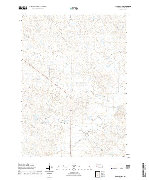
2021 Map of Bohemian Creek
USGS Topo · Published 2021About this map
The White River winds through this section of the High Plains, carving a path through the northwest Nebraska landscape south of the South Dakota border. This drainage basin is defined by several intermittent watercourses including Bohemian Cr, Madden Cr, and Rush Cr, which together shape the local topography. In an area where water management is vital for the prairie economy, a series of man-made structures are clustered together, most notably the trio of Gorr Reservoir Number 1, Gorr Reservoir Number 2, and Gorr Reservoir Number 3. These features, along with Morris Reservoir and Bartlet Reservoir, indicate a landscape modified to sustain local ranching or agricultural needs. The road network, including Braddock Rd and Schommer Loop Rd, provides the primary access across these expansive townships in Dawes County.
Find a feature on this map
20 named features on this map. Tap any name to fly to it.
Don’t see what you’re looking for? This feature index may not catch every label — zoom into the map to look around manually.
Map Details
Editions of this 2021 Bohemian Creek Map
This is the sole edition of this map. No revisions or reprints were ever made.
Other maps of this area

1896 · Oelrichs
USGS Topo · 1:125,000

1900 · Oelrichs
USGS Topo · 1:125,000

1955 · Hot Springs
USGS Topo · 1:250,000

1955 · Alliance
USGS Topo · 1:250,000

1957 · Alliance
USGS Topo · 1:250,000

1958 · Alliance
USGS Topo · 1:250,000

1967 · Slim Butte SW
USGS Topo · 1:24,000
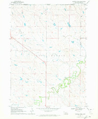
1970 · Bohemian Creek
USGS Topo · 1:24,000
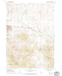
1970 · Chadron East
USGS Topo · 1:24,000
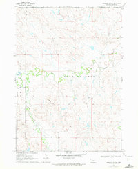
1970 · Isinglass Buttes
USGS Topo · 1:24,000