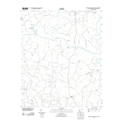
2011 Map of Boiling Springs South
USGS Topo · Published 2011About this map
The Broad River serves as the primary geographical divider for this region of Cleveland County at the start of the 21st century, with the landscape dotted by family-named landmarks and long-established burial grounds. Notable topographic features such as Jolly Mountain and Abes Mountain rise above the surrounding terrain, while water management is evident at Mount Pleasant Fishing Lake Dam and Houser Dam. For genealogists, the map is a dense record of local family names, preserved in sites like Lavonia Cemetery, Ellis Cemetery, and Huskins Cemetery. The small community of Maud sits in the southwestern corner, anchored by the Cherokee Creek Cemetery. Religious and community life is centered around local institutions like Mount Pleasant Church and the large Cleveland Memorial Park to the north, reflecting the deep-rooted settlement patterns of the North Carolina-South Carolina borderlands.
Find a feature on this map
161 named features on this map. Tap any name to fly to it.
Don’t see what you’re looking for? This feature index may not catch every label — zoom into the map to look around manually.
Map Details
Editions of this 2011 Boiling Springs South Map
This is the sole edition of this map. No revisions or reprints were ever made.
Other maps of this area

1909 · Gaffney
USGS Topo · 1:62,500

1950 · Shelby
USGS Topo · 1:62,500

1953 · Charlotte
USGS Topo · 1:250,000

1954 · Charlotte
USGS Topo · 1:250,000

1959 · Cowpens
USGS Topo · 1:62,500

1960 · Charlotte
USGS Topo · 1:250,000

1962 · Charlotte
USGS Topo · 1:250,000

1966 · Forest City
USGS Topo · 1:24,000
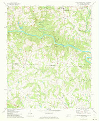
1971 · Boiling Springs South
USGS Topo · 1:24,000
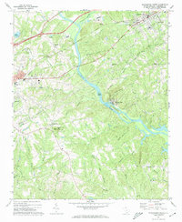
1971 · Blacksburg South
USGS Topo · 1:24,000