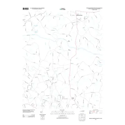
2013 Map of Boiling Springs South
USGS Topo · Published 2013About this map
Boiling Springs sits at the northern edge of this 2013 landscape, where the foothills of the Blue Ridge meet the river valleys of the Piedmont. The Broad River serves as the central geographic anchor, winding past Jolly Mountain and Abes Mountain as it crosses the state line. This period shows a transition from traditional rural land use to suburban residential pockets like Martin Acres and Grassy Pond. Local recreation and aviation are represented by Mount Pleasant Fishing Lake, Lake Houser, and the Gaffney Airport near the southern border. The intricate network of secondary roads, such as Steel Bridge Rd and Flint Hill Church Rd, reveals a modern settlement pattern built upon older agricultural routes. Small watercourses like Sarratt Cr and Sandy Run carve through the terrain, illustrating the region's dense drainage system.
Find a feature on this map
172 named features on this map. Tap any name to fly to it.
Don’t see what you’re looking for? This feature index may not catch every label — zoom into the map to look around manually.
Map Details
Editions of this 2013 Boiling Springs South Map
This is the sole edition of this map. No revisions or reprints were ever made.
Other maps of this area

1909 · Gaffney
USGS Topo · 1:62,500

1950 · Shelby
USGS Topo · 1:62,500

1953 · Charlotte
USGS Topo · 1:250,000

1954 · Charlotte
USGS Topo · 1:250,000

1959 · Cowpens
USGS Topo · 1:62,500

1960 · Charlotte
USGS Topo · 1:250,000

1962 · Charlotte
USGS Topo · 1:250,000

1966 · Forest City
USGS Topo · 1:24,000
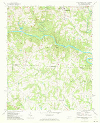
1971 · Boiling Springs South
USGS Topo · 1:24,000
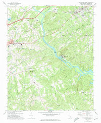
1971 · Blacksburg South
USGS Topo · 1:24,000