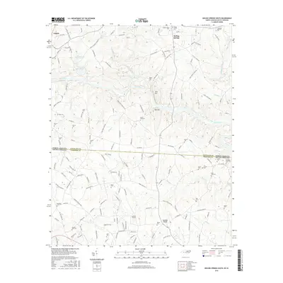
2016 Map of Boiling Springs South
USGS Topo · Published 2016About this map
Gardner-Webb Univ and the town of Boiling Springs occupy the northern heights of this landscape, where the terrain drops south toward the Broad River and the state line. This boundary between North and South Carolina divides the map, separating Cleveland County from Cherokee County. The area is defined by its deep genealogical roots, evidenced by dozens of family and community burial grounds such as Camps Creek Cem, Lavonia Cem, and Sarratt Cem. To the south, Grassy Pond and the Gaffney Airport anchor a rural region transition into the industrial history of Furnace Place. The river itself creates a winding corridor between Abes Mtn and Jolly Mtn, while tributaries like Beaverdam Creek and Cherokee Cr drain the surrounding hills and farmland.
Find a feature on this map
160 named features on this map. Tap any name to fly to it.
Don’t see what you’re looking for? This feature index may not catch every label — zoom into the map to look around manually.
Map Details
Editions of this 2016 Boiling Springs South Map
This is the sole edition of this map. No revisions or reprints were ever made.
Other maps of this area

1909 · Gaffney
USGS Topo · 1:62,500

1950 · Shelby
USGS Topo · 1:62,500

1953 · Charlotte
USGS Topo · 1:250,000

1954 · Charlotte
USGS Topo · 1:250,000

1959 · Cowpens
USGS Topo · 1:62,500

1960 · Charlotte
USGS Topo · 1:250,000

1962 · Charlotte
USGS Topo · 1:250,000

1966 · Forest City
USGS Topo · 1:24,000
1971 · Boiling Springs South
USGS Topo · 1:24,000
1971 · Blacksburg South
USGS Topo · 1:24,000