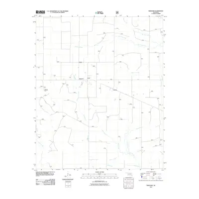
2010 Map of Bokhoma
USGS Topo · Published 2010About this map
Bokhoma sits at the heart of this southeastern Oklahoma landscape, where the wooded terrain of McCurtain County is defined by a dense network of creek systems. The settlement is flanked by Moon to the east and the small community of America further southeast, reflecting the rural township patterns of the region. This 2010 survey highlights the prominence of water as the primary geographic organizer, from the northern flow of White Oak Creek to the various branches of Caney Creek, including North Caney, Middle Caney, and South Caney.
Find a feature on this map
75 named features on this map. Tap any name to fly to it.
Don’t see what you’re looking for? This feature index may not catch every label — zoom into the map to look around manually.
Map Details
Editions of this 2010 Bokhoma Map
This is the sole edition of this map. No revisions or reprints were ever made.
Other maps of this area

1950 · De Kalb NW
USGS Topo · 1:24,000

1950 · Shults
USGS Topo · 1:24,000

1950 · Haworth
USGS Topo · 1:24,000

1950 · Tom
USGS Topo · 1:24,000

1950 · Goodwater
USGS Topo · 1:24,000

1950 · Bokhoma
USGS Topo · 1:24,000

1951 · De Kalb NW
USGS Topo · 1:24,000

1951 · Haworth
USGS Topo · 1:24,000

1951 · Tom
USGS Topo · 1:24,000

1951 · Bokhoma
USGS Topo · 1:24,000