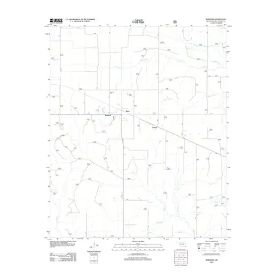
2012 Map of Bokhoma
USGS Topo · Published 2012About this map
Bokhoma and the nearby settlements of Moon and America anchor this southern Oklahoma landscape in McCurtain County. The terrain is defined by a dense network of tributaries, most notably N Caney Cr, Middle Caney Cr, and S Caney Cr, which drain the low-lying areas toward the south. The local genealogy is centered around Bokhoma Cem, located just north of the primary settlement. The survey illustrates a rural infrastructure of local roads and forest service tracks, such as t29 and t35a, which weave through the drainage basins of Parker Cr and Surratt Br. This drainage pattern, including Yellow Br and McKinney Cr, reflects the agricultural and timber-oriented layout of the region as it transitioned into the early 21st century, maintaining the distinct identities of these small communities.
Find a feature on this map
72 named features on this map. Tap any name to fly to it.
Don’t see what you’re looking for? This feature index may not catch every label — zoom into the map to look around manually.
Map Details
Editions of this 2012 Bokhoma Map
This is the sole edition of this map. No revisions or reprints were ever made.
Other maps of this area

1950 · De Kalb NW
USGS Topo · 1:24,000

1950 · Shults
USGS Topo · 1:24,000

1950 · Haworth
USGS Topo · 1:24,000

1950 · Tom
USGS Topo · 1:24,000

1950 · Goodwater
USGS Topo · 1:24,000

1950 · Bokhoma
USGS Topo · 1:24,000

1951 · De Kalb NW
USGS Topo · 1:24,000

1951 · Haworth
USGS Topo · 1:24,000

1951 · Tom
USGS Topo · 1:24,000

1951 · Bokhoma
USGS Topo · 1:24,000