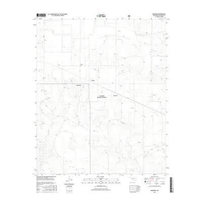
2016 Map of Bokhoma
USGS Topo · Published 2016About this map
Bokhoma and the nearby Bokhoma Cem serve as a central point in this McCurtain County landscape, where the wooded terrain of the Ouachita National Forest meets a network of southern Oklahoma stream valleys. The map documents small settlements like Moon and the uniquely named America, positioned between winding watercourses. The hydrology of the area is particularly detailed, with North Caney Creek, Middle Caney Creek, and South Caney Creek branching across the quadrant. To the south, McKinney Creek and Sandy Creek drain toward the state border, illustrating the natural drainage patterns that have historically influenced road placement and property boundaries in this rural timber and agricultural region.
Find a feature on this map
19 named features on this map. Tap any name to fly to it.
Don’t see what you’re looking for? This feature index may not catch every label — zoom into the map to look around manually.
Map Details
Editions of this 2016 Bokhoma Map
This is the sole edition of this map. No revisions or reprints were ever made.
Other maps of this area

1950 · De Kalb NW
USGS Topo · 1:24,000

1950 · Shults
USGS Topo · 1:24,000

1950 · Haworth
USGS Topo · 1:24,000

1950 · Tom
USGS Topo · 1:24,000

1950 · Goodwater
USGS Topo · 1:24,000

1950 · Bokhoma
USGS Topo · 1:24,000

1951 · De Kalb NW
USGS Topo · 1:24,000

1951 · Haworth
USGS Topo · 1:24,000

1951 · Tom
USGS Topo · 1:24,000

1951 · Bokhoma
USGS Topo · 1:24,000