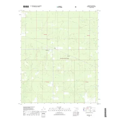
2019 Map of Bokhoma
USGS Topo · Published 2019About this map
Bokhoma and the small settlements of Moon and America anchor this portion of McCurtain County, situated near the southwestern edge of the Ouachita National Forest. The landscape is defined by a dense network of tributaries feeding into the larger local water system, including the various branches of Caney Creek such as N Caney Cr and Middle Caney Cr. This area maintains its rural character through established township and range lines, including t8s r26e and t9s r27e, which delineate the land for agricultural and forestry use.
Find a feature on this map
19 named features on this map. Tap any name to fly to it.
Don’t see what you’re looking for? This feature index may not catch every label — zoom into the map to look around manually.
Map Details
Editions of this 2019 Bokhoma Map
This is the sole edition of this map. No revisions or reprints were ever made.
Other maps of this area

1950 · De Kalb NW
USGS Topo · 1:24,000

1950 · Shults
USGS Topo · 1:24,000

1950 · Haworth
USGS Topo · 1:24,000

1950 · Tom
USGS Topo · 1:24,000

1950 · Goodwater
USGS Topo · 1:24,000

1950 · Bokhoma
USGS Topo · 1:24,000

1951 · De Kalb NW
USGS Topo · 1:24,000

1951 · Haworth
USGS Topo · 1:24,000

1951 · Tom
USGS Topo · 1:24,000

1951 · Bokhoma
USGS Topo · 1:24,000