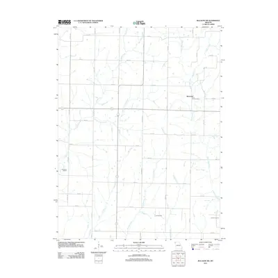
2011 Map of Bolckow NW
USGS Topo · Published 2011About this map
Whitecloud serves as the primary hub in this rural landscape, featuring the White Cloud Post Office and a grid of secondary roads that define the region's agricultural character. This 2011 survey by the U.S. Geological Survey documents a territory carved by numerous waterways, including the winding White Cloud Creek to the east and the Jenkins Creek drainage system to the west. The map provides essential data for genealogists tracing family roots in Nodaway County, specifically identifying the Shamberger Cemetery in the southwest and Litchfield Cemetery in the southeast. Evidence of modern infrastructure is seen in the rural Landing Strip located north of Arapahoe Creek. The terrain is characterized by the confluence of several small streams like Owl Creek and Newland Creek, which follow a predominantly north-south orientation through the township.
Find a feature on this map
37 named features on this map. Tap any name to fly to it.
Don’t see what you’re looking for? This feature index may not catch every label — zoom into the map to look around manually.
Map Details
Editions of this 2011 Bolckow NW Map
This is the sole edition of this map. No revisions or reprints were ever made.
Other maps of this area

1926 · Maitland
USGS Topo · 1:62,500

1927 · Bolckow
USGS Topo · 1:62,500

1939 · Skidmore
USGS Topo · 1:62,500

1941 · Skidmore
USGS Topo · 1:62,500

1942 · Skidmore
USGS Topo · 1:62,500

1943 · Maryville
USGS Topo · 1:62,500

1945 · Bolckow
USGS Topo · 1:62,500

1955 · Nebraska City
USGS Topo · 1:250,000

1957 · Nebraska City
USGS Topo · 1:250,000

1958 · Nebraska City
USGS Topo · 1:250,000