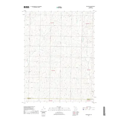
2017 Map of Bolckow NW
USGS Topo · Published 2017About this map
Shamberger Cem and Litchfield Cem stand as quiet landmarks in this agricultural landscape near the Nodaway and Andrew county line. The terrain is defined by a dense network of watercourses, including the south-flowing White Cloud Cr, Jenkins Cr, and Arapahoe Cr. These streams carve through the countryside, dictating the placement of rural roads like State Hwy H and Fortune Rd. The map illustrates a contemporary pattern of land division where numbered roads such as 350th St and 400th St create a precise grid over the more organic drainage patterns of Newland Cr and Coal Cr. This 2017 survey provides a detailed view of the rural infrastructure and natural drainage that has sustained this part of Hughes Township for generations.
Find a feature on this map
43 named features on this map. Tap any name to fly to it.
Don’t see what you’re looking for? This feature index may not catch every label — zoom into the map to look around manually.
Map Details
Editions of this 2017 Bolckow NW Map
This is the sole edition of this map. No revisions or reprints were ever made.
Other maps of this area

1926 · Maitland
USGS Topo · 1:62,500

1927 · Bolckow
USGS Topo · 1:62,500

1939 · Skidmore
USGS Topo · 1:62,500

1941 · Skidmore
USGS Topo · 1:62,500

1942 · Skidmore
USGS Topo · 1:62,500

1943 · Maryville
USGS Topo · 1:62,500

1945 · Bolckow
USGS Topo · 1:62,500

1955 · Nebraska City
USGS Topo · 1:250,000

1957 · Nebraska City
USGS Topo · 1:250,000

1958 · Nebraska City
USGS Topo · 1:250,000