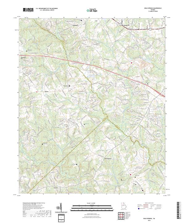
2024 Map of Bold Springs
USGS Topo · Published 2024About this map
The Apalachee River and Alcovy River define the rolling landscape of this Georgia Piedmont region, where the boundaries of Barrow, Gwinnett, and Walton counties converge. This contemporary survey shows the modern suburban expansion of Auburn and Dacula alongside long-established rural communities like Bold Springs, Windsor, and Whistleville. The area maintains a high density of traditional landmarks, particularly family and church burying grounds such as Alcovy Cem, Kilgore Cem, and the Ebenezer Baptist Church Cem.
Find a feature on this map
240 named features on this map. Tap any name to fly to it.
Don’t see what you’re looking for? This feature index may not catch every label — zoom into the map to look around manually.
Map Details
Editions of this 2024 Bold Springs Map
This is the sole edition of this map. No revisions or reprints were ever made.
Other maps of this area

1891 · Gainesville
USGS Topo · 1:125,000

1896 · Monroe
USGS Topo · 1:125,000

1953 · Athens
USGS Topo · 1:250,000

1954 · Greenville
USGS Topo · 1:250,000

1958 · Greenville
USGS Topo · 1:250,000

1958 · Athens
USGS Topo · 1:250,000

1959 · Athens
USGS Topo · 1:250,000

1963 · Athens
USGS Topo · 1:250,000

1964 · Hog Mountain
USGS Topo · 1:24,000

1964 · Bold Springs
USGS Topo · 1:24,000