
1964 Map of Bold Springs
USGS Topo · Published 1965About this map
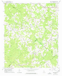
The intersection of Gwinnett, Barrow, and Walton counties defines this Piedmont landscape in the mid-1960s, a region characterized by small rural settlements and an intricate network of creeks feeding the Apalachee River and Alcovy River. Bold Springs serves as a central landmark, while the Seaboard Air Line railroad and Old Air Line Road cut through the northern portion of the map near Whistleville and Carl.
Find a feature on this map
54 named features on this map. Tap any name to fly to it.
Don’t see what you’re looking for? This feature index may not catch every label — zoom into the map to look around manually.
Map Details
Editions of this 1964 Bold Springs Map
4 editions found
Other maps of this area

1891 · Gainesville
USGS Topo · 1:125,000

1896 · Monroe
USGS Topo · 1:125,000

1953 · Athens
USGS Topo · 1:250,000

1954 · Greenville
USGS Topo · 1:250,000

1958 · Greenville
USGS Topo · 1:250,000

1958 · Athens
USGS Topo · 1:250,000

1959 · Athens
USGS Topo · 1:250,000

1963 · Athens
USGS Topo · 1:250,000

1964 · Hog Mountain
USGS Topo · 1:24,000
1964 · Loganville
USGS Topo · 1:24,000