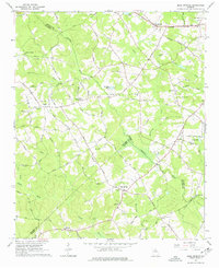
1964 Map of Bold Springs
USGS Topo · Published 1977About this map
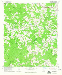
The Apalachee River and Alcovy River carve through this landscape of the Georgia Piedmont, defining a region where rural communities like Bold Springs and Whistleville flourished during the mid-twentieth century. The map illustrates a transition from agrarian roots to a more connected infrastructure, evidenced by the Seaboard Air Line railroad and a network of early roads such as Matthews School Road. Genealogists will find significant value in the numerous local burial sites, including Kilgore Cem, Alcovy Cem, and Peavy Cem, often situated near their namesake houses of worship like Bethel Ch or Ebenezer Ch. The presence of Windsor University near the southern boundary and the Pumping Sta near Rutledge Lake reflects the institutional and utility development supporting the growing population of Barrow, Gwinnett, and Walton Counties.
Find a feature on this map
69 named features on this map. Tap any name to fly to it.
Don’t see what you’re looking for? This feature index may not catch every label — zoom into the map to look around manually.
Map Details
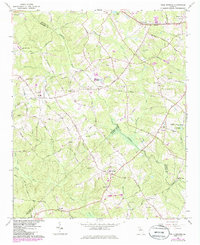
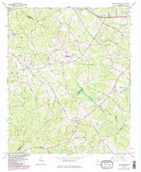
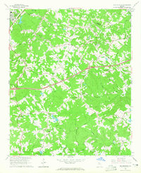
Editions of this 1964 Bold Springs Map
4 editions found
Other maps of this area

1891 · Gainesville
USGS Topo · 1:125,000

1896 · Monroe
USGS Topo · 1:125,000

1953 · Athens
USGS Topo · 1:250,000

1954 · Greenville
USGS Topo · 1:250,000

1958 · Greenville
USGS Topo · 1:250,000

1958 · Athens
USGS Topo · 1:250,000

1959 · Athens
USGS Topo · 1:250,000

1963 · Athens
USGS Topo · 1:250,000
1964 · Hog Mountain
USGS Topo · 1:24,000
1964 · Bold Springs
USGS Topo · 1:24,000