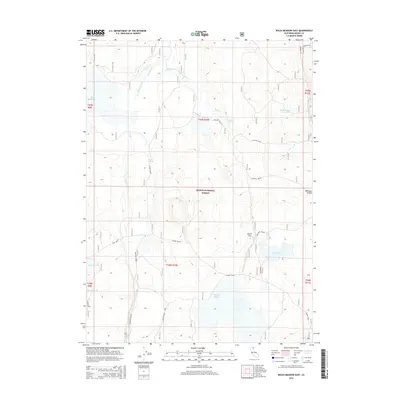
2015 Map of Boles Meadow East
USGS Topo · Published 2015About this map
Boles Meadow and the surrounding high-plateau landscape of Modoc National Forest define this corner of northeastern California. The terrain is a complex drainage system characterized by seasonal water features and volcanic landforms, including Timbered Mtn and the depression of Fairchild Swamp. Water management is central to the land's utility, evidenced by a series of named catchments such as W Black Rock Reservoir, Reservoir C, and Reservoir G. These features suggest a landscape traditionally used for grazing and forest management, where perennial flows like Fletcher Cr and Bottle Cr are vital resources. Sparse infrastructure is largely confined to forest roads and spurs, including the Round Valley Spur, which navigate the broad expanses of Antelope Plains and Williams Valley.
Find a feature on this map
28 named features on this map. Tap any name to fly to it.
Don’t see what you’re looking for? This feature index may not catch every label — zoom into the map to look around manually.
Map Details
Editions of this 2015 Boles Meadow East Map
This is the sole edition of this map. No revisions or reprints were ever made.
Other maps of this area

1886 · Alturas
USGS Topo · 1:250,000

1892 · Alturas
USGS Topo · 1:250,000

1954 · Alturas
USGS Topo · 1:250,000

1958 · Alturas
USGS Topo · 1:250,000

1962 · Alturas
USGS Topo · 1:250,000

1962 · Big Sage Reservoir
USGS Topo · 1:62,500

1962 · Steele Swamp
USGS Topo · 1:62,500

1962 · South Mountain
USGS Topo · 1:62,500

1962 · Jacks Butte
USGS Topo · 1:62,500

1965 · Alturas
USGS Topo · 1:250,000