Loading...
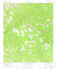
Loading map...1974 Map of Bolingbroke
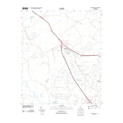
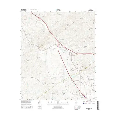
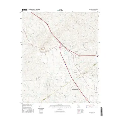
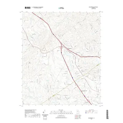
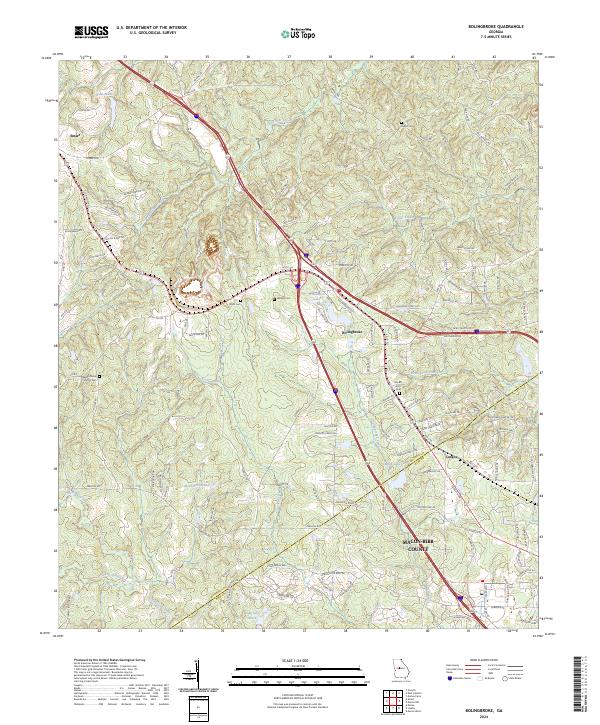
USGS Topo · Published 1976About this map
Bolingbroke and the surrounding Monroe County landscape are defined by a network of rural churches and family cemeteries that anchored mid-century Georgia life. The Central of Georgia railway cuts through the terrain, passing through the settlement of Lorane and winding near the waters of Colaparchee Creek and Beaverdam Creek. The map documents numerous community landmarks, from Union Chapel and Williams Chapel to the Wadley Cem, reflecting the deep-rooted social and genealogical history of the area.
Find a feature on this map
38 named features on this map. Tap any name to fly to it.
Don’t see what you’re looking for? This feature index may not catch every label — zoom into the map to look around manually.
Map Details
Date Portrayed1974
Date Published1976
PublisherU.S. Geological Survey
Map TypeTopographic
Scale1:24,000
Physical Dimensions22 x 26.9 inches
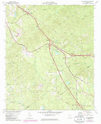
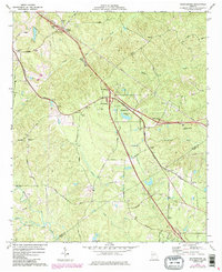
Editions of this 1974 Bolingbroke Map
3 editions found
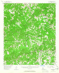
Historical Maps of Macon Through Time
7 maps found
Featured Locations
Source Details
SourceU.S. Geological Survey
CopyrightPublic Domain