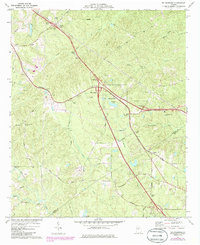
1974 Map of Bolingbroke
USGS Topo · Published 1985About this map
Bolingbroke serves as a central hub on this mid-1970s survey, where the Central of Georgia rail line cuts through the landscape alongside modern interstate developments. This era of transit history is captured at the boundary of Monroe Co and Bibb Co, showing the transition of the rural landscape near the smaller community of Lorane. The map records a dense network of country churches, including St Paul Ch, Salem Ch, and Jobes Chapel, reflecting the long-standing community centers of the Georgia piedmont.
Find a feature on this map
37 named features on this map. Tap any name to fly to it.
Don’t see what you’re looking for? This feature index may not catch every label — zoom into the map to look around manually.
Map Details
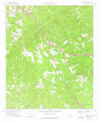
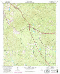
Editions of this 1974 Bolingbroke Map
3 editions found
Other maps of this area

1951 · Forsyth
USGS Topo · 1:62,500

1953 · Athens
USGS Topo · 1:250,000

1956 · Bolingbroke
USGS Topo · 1:62,500

1956 · Macon West
USGS Topo · 1:24,000

1956 · Macon
USGS Topo · 1:62,500

1957 · Macon
USGS Topo · 1:250,000

1958 · Macon
USGS Topo · 1:250,000

1958 · Athens
USGS Topo · 1:250,000

1959 · Athens
USGS Topo · 1:250,000

1963 · Athens
USGS Topo · 1:250,000