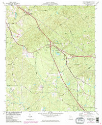
1974 Map of Bolingbroke
USGS Topo · Published 1985About this map
The community of Bolingbroke serves as the focal point of this mid-1970s landscape, where the modern interstate system meets the older infrastructure of the Central of Georgia railroad. This transition is marked by a series of interchanges that carved new paths through the rural terrain of Monroe and Bibb counties. The map preserves the locations of numerous country churches that anchored the surrounding farmsteads, including Colaparchee Ch, Jobes Chapel, and Williams Chapel.
Find a feature on this map
51 named features on this map. Tap any name to fly to it.
Don’t see what you’re looking for? This feature index may not catch every label — zoom into the map to look around manually.
Map Details
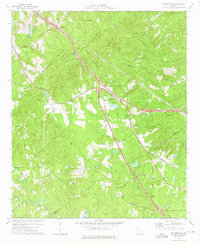
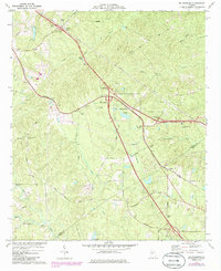
Editions of this 1974 Bolingbroke Map
3 editions found
Other maps of this area

1951 · Forsyth
USGS Topo · 1:62,500

1953 · Athens
USGS Topo · 1:250,000

1956 · Bolingbroke
USGS Topo · 1:62,500

1956 · Macon West
USGS Topo · 1:24,000

1956 · Macon
USGS Topo · 1:62,500

1957 · Macon
USGS Topo · 1:250,000

1958 · Macon
USGS Topo · 1:250,000

1958 · Athens
USGS Topo · 1:250,000

1959 · Athens
USGS Topo · 1:250,000

1963 · Athens
USGS Topo · 1:250,000