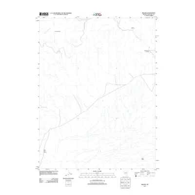
2011 Map of Bolivia
USGS Topo · Published 2011About this map
Bolivia (historical) marks a site of former settlement in the high desert of Churchill County, situated near the northern edge of Dixie Valley. This 2011 survey highlights a landscape defined by seasonal water systems and significant elevation changes, where Cottonwood Creek drains through Cottonwood Canyon toward the valley floor. To the west, the massif of Pine Mountain dominates the terrain, while White Rock Canyon cuts through the southwestern reaches of the quadrangle.
Find a feature on this map
7 named features on this map. Tap any name to fly to it.
Don’t see what you’re looking for? This feature index may not catch every label — zoom into the map to look around manually.
Map Details
Editions of this 2011 Bolivia Map
This is the sole edition of this map. No revisions or reprints were ever made.
Other maps of this area

1908 · Carson Sink
USGS Topo · 1:250,000

1910 · Carson Sink
USGS Topo · 1:250,000

1931 · Lovelock
USGS Topo · 1:250,000

1932 · Sonoma Range
USGS Topo · 1:250,000

1935 · Lovelock
USGS Topo · 1:250,000

1939 · Sonoma Range
USGS Topo · 1:250,000

1954 · Buffalo Mtn
USGS Topo · 1:62,500

1955 · Millett
USGS Topo · 1:250,000

1955 · Lovelock
USGS Topo · 1:250,000

1955 · Winnemucca
USGS Topo · 1:250,000