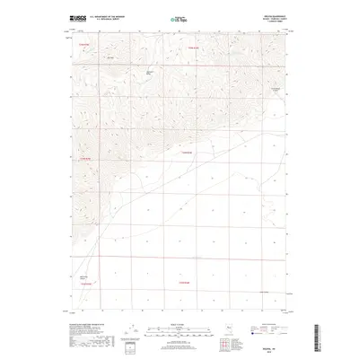
2018 Map of Bolivia
USGS Topo · Published 2018About this map
The Stillwater Range dominates this Churchill County landscape, rising sharply from the basin floor and forming a complex network of high ridges and deep drainages. At the base of these mountains, the transition to the lowlands is marked by Dixie Meadows, a hydrological focal point in the otherwise arid Dixie Valley. The map details the rugged topography of peaks such as Pine Mtn and the distinct erosional patterns of White Rock Canyon and Cottonwood Canyon to the north. Drainage patterns are defined by seasonal watercourses like Cottonwood Cr, which illustrate the relationship between the high range and the salt-crusted flats of the valley floor. This survey documents the intersection of extreme elevation changes and the specific desert features that define the interior of the Great Basin.
Find a feature on this map
13 named features on this map. Tap any name to fly to it.
Don’t see what you’re looking for? This feature index may not catch every label — zoom into the map to look around manually.
Map Details
Editions of this 2018 Bolivia Map
This is the sole edition of this map. No revisions or reprints were ever made.
Other maps of this area

1908 · Carson Sink
USGS Topo · 1:250,000

1910 · Carson Sink
USGS Topo · 1:250,000

1931 · Lovelock
USGS Topo · 1:250,000

1932 · Sonoma Range
USGS Topo · 1:250,000

1935 · Lovelock
USGS Topo · 1:250,000

1939 · Sonoma Range
USGS Topo · 1:250,000

1954 · Buffalo Mtn
USGS Topo · 1:62,500

1955 · Millett
USGS Topo · 1:250,000

1955 · Lovelock
USGS Topo · 1:250,000

1955 · Winnemucca
USGS Topo · 1:250,000