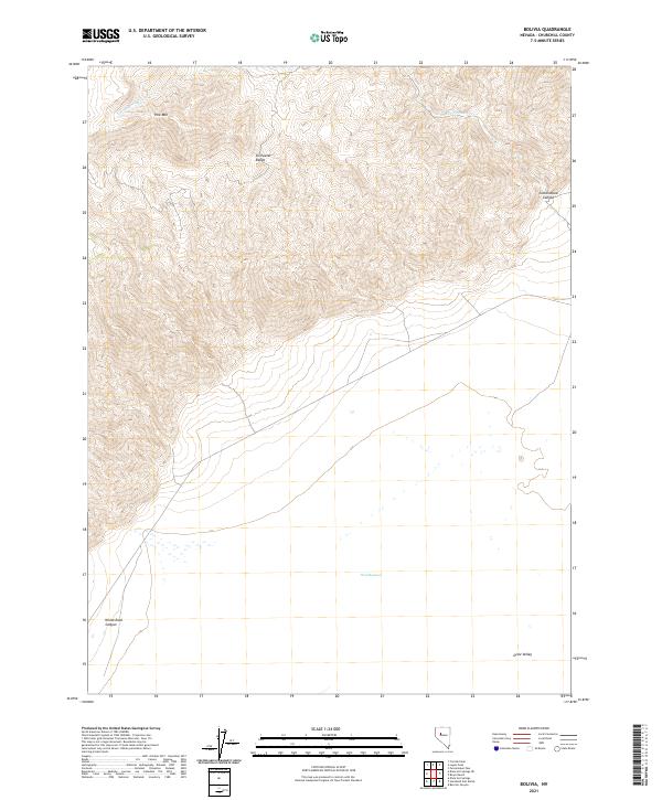
2021 Map of Bolivia
USGS Topo · Published 2021About this map
The Stillwater Range dominates this portion of Churchill County, characterized by the steep topography of Pine Mtn and the deep incisions of Cottonwood Canyon and White Rock Canyon. To the east, the terrain descends sharply into the arid expanse of Dixie Valley, where the landscape transitions from high ridgelines to the distinctive wetlands of Dixie Meadows. Drainage patterns across the slopes are defined by seasonal watercourses like Cottonwood Cr, which carve through the range toward the valley floor. This 2021 study illustrates the stark contrast between the high desert peaks and the low-lying basin, highlighting the topographical isolation that has historically limited development in this region of Nevada. The map detail focuses on these natural landmarks and the legal township and range boundaries that define this remote territory.
Find a feature on this map
13 named features on this map. Tap any name to fly to it.
Don’t see what you’re looking for? This feature index may not catch every label — zoom into the map to look around manually.
Map Details
Editions of this 2021 Bolivia Map
This is the sole edition of this map. No revisions or reprints were ever made.
Other maps of this area

1908 · Carson Sink
USGS Topo · 1:250,000

1910 · Carson Sink
USGS Topo · 1:250,000

1931 · Lovelock
USGS Topo · 1:250,000

1932 · Sonoma Range
USGS Topo · 1:250,000

1935 · Lovelock
USGS Topo · 1:250,000

1939 · Sonoma Range
USGS Topo · 1:250,000

1954 · Buffalo Mtn
USGS Topo · 1:62,500

1955 · Millett
USGS Topo · 1:250,000

1955 · Lovelock
USGS Topo · 1:250,000

1955 · Winnemucca
USGS Topo · 1:250,000