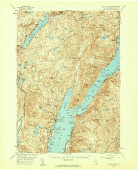
1958 Map of Bolton Landing
USGS Topo · Published 1960About this map
Lake George and Brant Lake anchor this mid-century portrait of the eastern Adirondacks, where the settlement pattern follows the narrow shorelines and interior valleys. The map documents established communities like Bolton Landing and Hague, while also capturing smaller hamlets such as Bartonville and Sabbathday Point. Inland, the terrain is defined by a dense network of peaks including Cat Mtn, Sutter Mtn, and Buck Mtn, interspersed with numerous high-elevation water bodies like Jabe Pond and Wolf Pond. Genealogists will find particular value in the identification of several rural burial grounds, including New Vermont Cem, Smith Cem, and the County Home Cem near the southern edge of Bolton. The layout reflects a landscape where primary travel is dictated by the mountains, with Valley Road cutting through the western highlands and boat-accessible points like Huletts Landing and Vicars Island dotting the sprawling lakefront.
Find a feature on this map
171 named features on this map. Tap any name to fly to it.
Don’t see what you’re looking for? This feature index may not catch every label — zoom into the map to look around manually.
Map Details
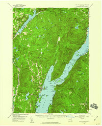
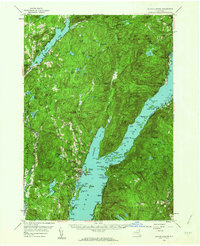
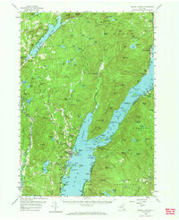
Editions of this 1958 Bolton Landing Map
4 editions found
Other maps of this area

1893 · Fort Ann
USGS Topo · 1:62,500

1893 · Whitehall
USGS Topo · 1:62,500

1894 · Ticonderoga
USGS Topo · 1:62,500

1895 · Whitehall
USGS Topo · 1:62,500

1895 · North Creek
USGS Topo · 1:62,500

1895 · Fort Ann
USGS Topo · 1:62,500

1895 · Paradox Lake
USGS Topo · 1:62,500

1895 · Glens Falls
USGS Topo · 1:62,500

1896 · Ticonderoga
USGS Topo · 1:62,500

1897 · Bolton
USGS Topo · 1:62,500