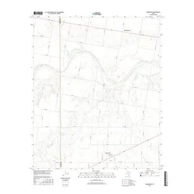
2016 Map of Bomarton
USGS Topo · Published 2016About this map
The Brazos River meanders across this North Texas landscape, defining the transition between Knox and Baylor counties. The small community of Bomarton sits near the southern edge of the sheet, characterized by a grid of streets including South St and East St, while Red Springs serves as a secondary focal point to the north along the highway. The terrain is deeply etched by a network of drainage systems, including Lake Cr, Ednas Cr, and Cottonwood Cr, which feed toward the primary river valley. A dense system of rural routes, such as Co RD 466 and Co RD 436, provides access to the surrounding agricultural and ranch lands, tracing the persistent boundaries of local property and family land use in this part of the Texas rolling plains.
Find a feature on this map
52 named features on this map. Tap any name to fly to it.
Don’t see what you’re looking for? This feature index may not catch every label — zoom into the map to look around manually.
Map Details
Editions of this 2016 Bomarton Map
This is the sole edition of this map. No revisions or reprints were ever made.
Other maps of this area

1954 · Wichita Falls
USGS Topo · 1:250,000

1958 · Wichita Falls
USGS Topo · 1:250,000

1962 · Antelope Creek NE
USGS Topo · 1:24,000

1962 · Antelope Creek NW
USGS Topo · 1:24,000

1966 · Seymour West
USGS Topo · 1:24,000

1966 · Soap Creek
USGS Topo · 1:24,000

1966 · Bomarton
USGS Topo · 1:24,000

1966 · Vera
USGS Topo · 1:24,000

1966 · Southwest Lake Kemp
USGS Topo · 1:24,000

1967 · Hefner
USGS Topo · 1:24,000