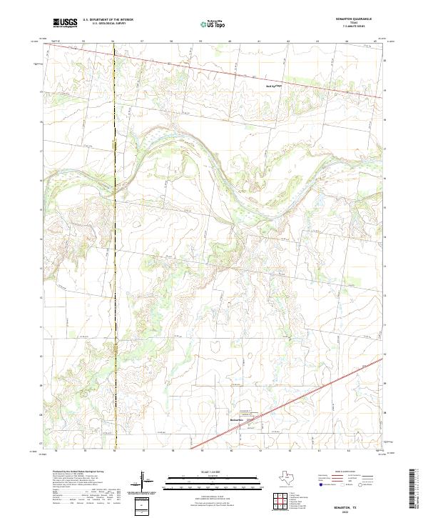
2022 Map of Bomarton
USGS Topo · Published 2022About this map
Bomarton serves as the primary focal point of this rural landscape, situated along the southern edge of the survey area. The terrain is defined by the winding course of the Brazos River, which meanders through the northern half of the sheet, creating a complex system of drainage and riparian land. This map illustrates the transition from the river bottomlands to the surrounding plains, marked by a dense network of intermittent watercourses including Lake Cr, Red Cr, and Yokum Cr.
Find a feature on this map
53 named features on this map. Tap any name to fly to it.
Don’t see what you’re looking for? This feature index may not catch every label — zoom into the map to look around manually.
Map Details
Editions of this 2022 Bomarton Map
This is the sole edition of this map. No revisions or reprints were ever made.
Other maps of this area
1954 · Wichita Falls
USGS Topo · 1:250,000
1958 · Wichita Falls
USGS Topo · 1:250,000
1962 · Antelope Creek NE
USGS Topo · 1:24,000
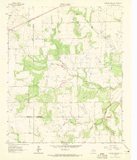
1962 · Antelope Creek NW
USGS Topo · 1:24,000
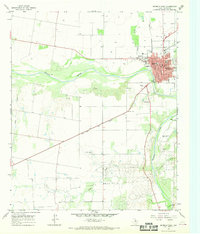
1966 · Seymour West
USGS Topo · 1:24,000
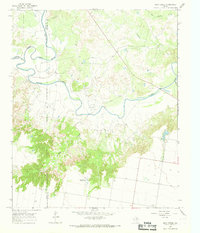
1966 · Soap Creek
USGS Topo · 1:24,000
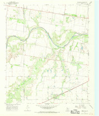
1966 · Bomarton
USGS Topo · 1:24,000
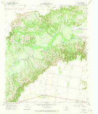
1966 · Vera
USGS Topo · 1:24,000
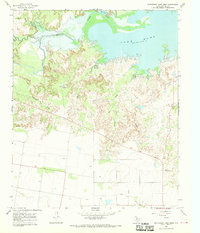
1966 · Southwest Lake Kemp
USGS Topo · 1:24,000
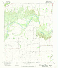
1967 · Hefner
USGS Topo · 1:24,000