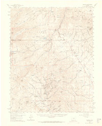
1959 Map of Bonanza
USGS Topo · Published 1965About this map
Rawley Mines and dozens of other mining claims dominate the rugged topography south of Marshall Pass in this mid-century survey. The settlement of Bonanza remains a central hub for the district, supported by industrial operations like the Superior Mill and Little Bonanza Mill. The landscape is a network of legacy extraction sites including the Cocomongo Mine, Stamwinder Mine, and Michigan Shaft. Transportation is defined by the Denver and Rio Grande Western Railroad, which winds through the mountains to reach Mears Junction. Nearby, the former locations of Kerber City and Shirley are noted as sites, indicating a shift in the local population centers. This map captures the intersection of three distinct administrative regions: the San Isabel, Gunnison, and Rio Grande National Forests, converging near the high peaks of Mount Ouray and Antero Peak.
Find a feature on this map
107 named features on this map. Tap any name to fly to it.
Don’t see what you’re looking for? This feature index may not catch every label — zoom into the map to look around manually.
Map Details
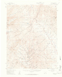
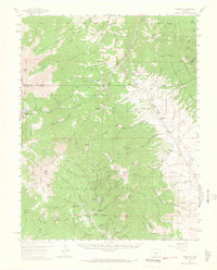
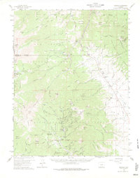
Editions of this 1959 Bonanza Map
5 editions found
Other maps of this area

1940 · Garfield
USGS Topo · 1:62,500

1945 · Garfield
USGS Topo · 1:62,500

1954 · Pueblo
USGS Topo · 1:250,000

1956 · Cameron Mountain
USGS Topo · 1:62,500

1956 · Poncha Springs
USGS Topo · 1:62,500

1956 · Montrose
USGS Topo · 1:250,000

1957 · Pueblo
USGS Topo · 1:250,000

1958 · Pueblo
USGS Topo · 1:250,000

1959 · Montrose
USGS Topo · 1:250,000

1959 · Bonanza
USGS Topo · 1:62,500