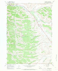
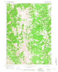
1967 Map of Bondurant
USGS Topo · Published 1971About this map
The Hoback River flows through the heart of this Wyoming landscape, carving a valley that serves as the primary corridor for the small settlement of Bondurant. In the late 1960s, this area of the Teton National Forest maintained a balance between remote wilderness and managed land, evidenced by the Hoback Guard Sta and the Monument Ridge Lookout Tower watching over the high ground of Monument Ridge. Local landmarks like the Bondurant Cem and a small Landing Strip near the river point to the self-sufficient nature of this community. The map details an extensive network of travel ways, from the primary highway along the river to remote routes like the Pack Trail and Jeep Trail, which provide access to family-named drainages such as Sandy Marshall Creek, Miller Draw, and Nutting Draw.
Find a feature on this map
28 named features on this map. Tap any name to fly to it.
Don’t see what you’re looking for? This feature index may not catch every label — zoom into the map to look around manually.
Map Details
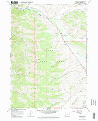
Editions of this 1967 Bondurant Map
2 editions found
Other maps of this area

1907 · Gros Ventre
USGS Topo · 1:125,000

1910 · Gros Ventre
USGS Topo · 1:125,000

1931 · Jackson
USGS Topo · 1:125,000

1935 · Jackson
USGS Topo · 1:125,000

1955 · Driggs
USGS Topo · 1:250,000

1958 · Driggs
USGS Topo · 1:250,000

1962 · Driggs
USGS Topo · 1:250,000
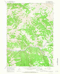
1965 · Bull Creek
USGS Topo · 1:24,000
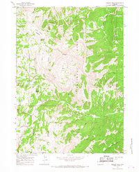
1965 · Hoback Peak
USGS Topo · 1:24,000
1965 · Clause Peak
USGS Topo · 1:24,000