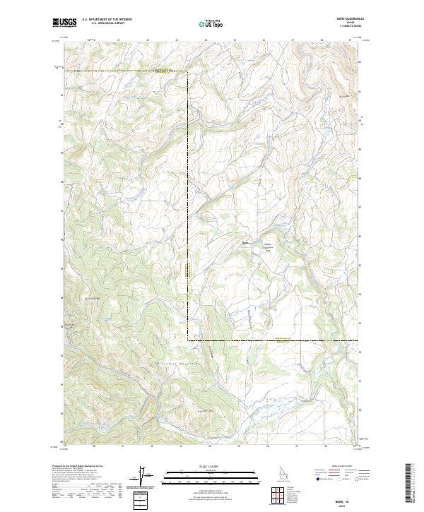
2023 Map of Bone
USGS Topo · Published 2023About this map
The settlement of Bone serves as a remote hub where the Blackfoot Mountains meet the high desert drainage of Willow Creek. This landscape is defined by its complex volcanic and tectonic history, notably preserved in the Willow Creek Lava Field and the surrounding peaks like Ziegler Mtn and Birch Creek Mtn. The terrain is deeply etched by a network of seasonal and perennial waterways including Mud Creek and the culturally named Bavahope Naokwaide.
Find a feature on this map
33 named features on this map. Tap any name to fly to it.
Don’t see what you’re looking for? This feature index may not catch every label — zoom into the map to look around manually.
Map Details
Editions of this 2023 Bone Map
2 editions found
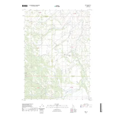
Other maps of this area

1917 · Cranes Flat
USGS Topo · 1:62,500

1918 · Paradise Valley
USGS Topo · 1:62,500

1924 · Hell Creek
USGS Topo · 1:62,500

1924 · Ammon
USGS Topo · 1:62,500

1926 · Hell Creek
USGS Topo · 1:62,500

1955 · Driggs
USGS Topo · 1:250,000

1958 · Driggs
USGS Topo · 1:250,000

1962 · Driggs
USGS Topo · 1:250,000
1963 · Bone
USGS Topo · 1:24,000
1981 · Miner Creek
USGS Topo · 1:24,000