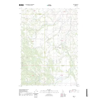
2023 Map of Bone
USGS Topo · Published 2023About this map
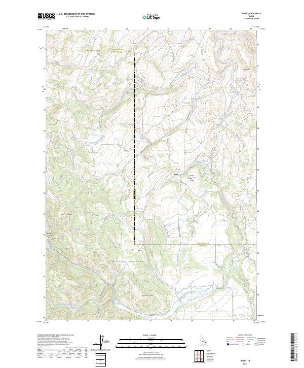
Bone serves as the central settlement in this high-altitude landscape where the Blackfoot Mountains meet the high desert plains. The topography is defined by significant ridges and summits, including Birch Creek Mtn and Ziegler Mtn, which frame a complex network of drainages. Of particular geological interest is the Willow Creek Lava Field, a distinct volcanic feature situated east of the main settlement. The map reveals the intricate water systems that have shaped the region, from the primary course of Willow Creek to seasonal drainages like Canyon Creek and Sellars Creek. A network of backcountry routes, such as Bone Rd and Sellers Creek Rd, provides access across the Bonneville and Bingham County line. This modern survey is an essential resource for understanding the contemporary geography of this part of Idaho, tracing the transition from rugged mountain divides like the Double W Divide to the unique volcanic terrain of the lava fields.
Find a feature on this map
34 named features on this map. Tap any name to fly to it.
Don’t see what you’re looking for? This feature index may not catch every label — zoom into the map to look around manually.
Map Details
Editions of this 2023 Bone Map
2 editions found
Other maps of this area

1917 · Cranes Flat
USGS Topo · 1:62,500

1918 · Paradise Valley
USGS Topo · 1:62,500

1924 · Hell Creek
USGS Topo · 1:62,500

1924 · Ammon
USGS Topo · 1:62,500

1926 · Hell Creek
USGS Topo · 1:62,500

1955 · Driggs
USGS Topo · 1:250,000

1958 · Driggs
USGS Topo · 1:250,000

1962 · Driggs
USGS Topo · 1:250,000
1963 · Bone
USGS Topo · 1:24,000
1981 · Miner Creek
USGS Topo · 1:24,000