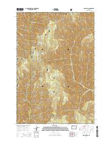
2014 Map of Bone Spring
USGS Topo · Published 2014About this map
The Umatilla National Forest defines the topography of this corner of the Blue Mountains, where the drainage divides separate significant river systems. Along the western edge, the Mill Creek Watershed serves as a critical conservation zone, while the South Fork Walla Walla River and South Fork Wenaha River cut through the high-elevation terrain. This 2014 survey captures a landscape managed for both timber and water resources, evidenced by the network of forestry routes like Nat For Dev Rd 65. Numerous water sources are documented across the ridges, including Bone Spring, Deduct Spring, and Bear Trap Spring, which have long served as vital points for livestock and wildlife. Distinctive local landmarks such as Milk Shakes and Paradise Ridge provide clear orientation points within this high-country environment at the border of Umatilla and Wallowa counties.
Find a feature on this map
27 named features on this map. Tap any name to fly to it.
Don’t see what you’re looking for? This feature index may not catch every label — zoom into the map to look around manually.
Map Details
Editions of this 2014 Bone Spring Map
This is the sole edition of this map. No revisions or reprints were ever made.
Other maps of this area

1919 · Walla Walla
USGS Topo · 1:125,000

1921 · Walla Walla
USGS Topo · 1:125,000

1937 · Pomeroy
USGS Topo · 1:96,000

1942 · Pomeroy
USGS Topo · 1:125,000

1953 · Pendleton
USGS Topo · 1:250,000

1953 · Walla Walla
USGS Topo · 1:250,000

1955 · Pullman
USGS Topo · 1:250,000

1955 · Grangeville
USGS Topo · 1:250,000

1956 · Pendleton
USGS Topo · 1:250,000

1958 · Pullman
USGS Topo · 1:250,000