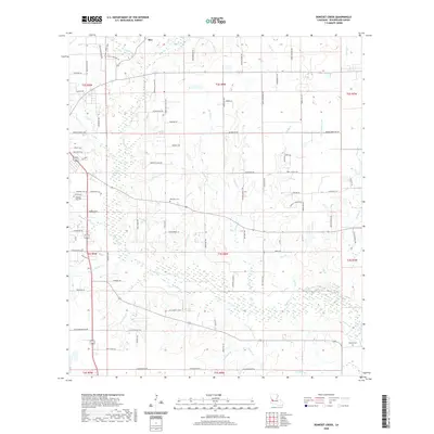
2020 Map of Boneset Creek
USGS Topo · Published 2020About this map
The settlement of Ikes and the winding course of Bundick Creek anchor this Beauregard Parish landscape in 2020. Located in southwestern Louisiana, the area is characterized by a dense network of watercourses including Boneset Cr, Turkey Hollow Cr, and Hickory Hollow Br. These waterways feed into larger systems that have historically shaped the local timber and agricultural economy. The terrain is marked by numerous family-named roads and landmarks, reflecting the generational history of the region.
Find a feature on this map
99 named features on this map. Tap any name to fly to it.
Don’t see what you’re looking for? This feature index may not catch every label — zoom into the map to look around manually.
Map Details
Editions of this 2020 Boneset Creek Map
This is the sole edition of this map. No revisions or reprints were ever made.
Other maps of this area

1947 · DeRidder
USGS Topo · 1:31,680

1947 · Rosepine
USGS Topo · 1:31,680

1947 · Ikes
USGS Topo · 1:31,680

1947 · Chasmore
USGS Topo · 1:31,680

1947 · Bundick
USGS Topo · 1:31,680

1947 · Beckwith School
USGS Topo · 1:31,680

1947 · Sugartown
USGS Topo · 1:31,680

1947 · Bannister
USGS Topo · 1:31,680

1947 · Sugrue
USGS Topo · 1:31,680
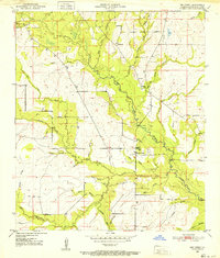
1950 · Dry Creek
USGS Topo · 1:24,000